Mapping, analysis, and monitoring of land sealing
CONTEXT
Towards achieving zero
net soil sealing by 2050
Every year in France, 24,000 hectares of natural, agricultural, and forested areas are urbanized for housing, economic activities, or road infrastructure. The environmental consequences are severe, and soil sealing is now considered one of the leading causes of biodiversity collapse.
Regulations now require the renaturation of spaces where possible, and land use restraint has become a national priority. France has committed, under the Climate and Resilience Law, to achieving “zero net soil sealing” by 2050.
This land use restraint trajectory can only be achieved if territories adjust the pace of soil sealing by promoting sustainable development models: revegetation, redevelopment of brownfields and downgraded areas, densification…

OUR SOLUTION
Landia, a tool for
monitoring soil sealing
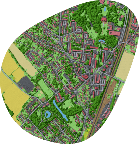
To support municipalities in implementing new regulations, we have integrated into Landia a solution that allows municipalities to analyze and monitor soil sealing through thematic maps and indicators.
By combining different data sources, we produce large-scale land use maps that provide an overview of soil sealing and offer territories a tool to monitor its evolution. Moreover, through thematic indicators at different levels of analysis (morphological block, hexagonal mesh, neighborhood…), Landia identifies areas with high levels of soil sealing, facilitating the implementation of targeted measures for their preservation or rehabilitation. Local decision-makers thus have a solution to help them make informed decisions regarding land use planning.
Interested in testing Landia in your area? Request a demo to discover how our solution works!
INDICATORS
Some examples of indicators
for your municipality

28%
PERCENTAGE OF SEALED SURFACE AREA

758ha
SEALED AREA

24%
PERCENTAGE OF VEGETATED SURFACE AREA

48%
PERCENTAGE OF IMPERVIOUS SURFACE AREA

25%
BUILT-UP AREA
SERVICES
Discover our other services for
managing your territories
Urban vegetation, heat islands, soil artificialization, agroecological infrastructures: discover all our services for managing your territories!
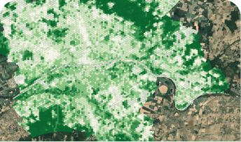
MONITORING OF URBAN VEGETATION AND
QUALITY OF LIFE OF RESIDENTS
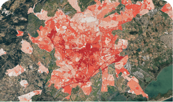
ANALYSIS OF URBAN CLIMATOLOGY AND IDENTIFICATION OF HEAT ISLANDS
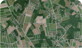
MAPPING, MONITORING, AND CHARACTERIZATION OF
NATURAL, AGRICULTURAL, AND FOREST SPACES

MAPPING OF FOREST AREAS AND
BURNED AREAS FOLLOWING FIRES
