Our Tools and Services
Discover our full range of business segments and associated tools to meet your needs.
OUR EXPERTISE
A triple expertise at the
service of ecological transition
Climate change, manifesting as droughts and floods, requires agriculture and territorial planning to adopt sustainable and environmentally friendly practices. These sectors face major challenges, such as biodiversity preservation, rational management of inputs, and protection of natural resources. These issues require a profound revision of practices to align them with sustainability principles.
In response to these challenges, TerraNIS uses its triple expertise in agronomy, territorial planning, and remote sensing to develop solutions that facilitate informed decision-making in the field. These services aim to provide high-value information to optimize resource management and territorial planning, contributing to an effective and sustainable agroecological transition.
AGRICULTURE
Pixagri, services for
reasoned agriculture
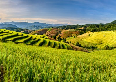
As environmental issues become increasingly important in our societies, agriculture is at the heart of a crucial transformation towards sustainability. In this quest for more environmentally friendly agriculture, satellite images emerge as invaluable tools. Thus, TerraNIS has developed Pixagri, a set of precision agriculture services dedicated to supporting farmers and cooperatives in their agroecological transition.
VITICULTURE
Oenoview®, satellite imagery at
the service of precision viticulture
Combining technological innovation and viticultural expertise, Oenoview® is to date the most precise and rapid viticultural service to master the qualitative potential of your vineyard. The Oenoview® service is developed and marketed with our partner Le groupe ICV, specialized in oenological advice. Satellite imagery allows you to obtain a precise, reliable, operational, and large-scale mapping of your vineyard at any time. The Oenoview® range is available in four complementary services accessible on mobile or web for field use.
LAND MANAGEMENT
Our Landia solution for drawing up
a portrait of your territory
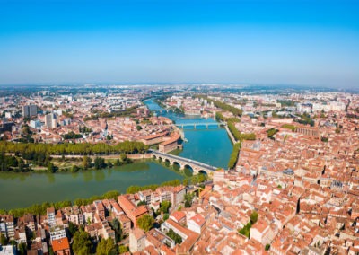
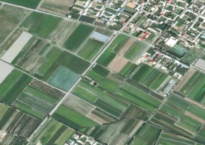
To meet the needs of communities in terms of territorial planning and sustainable development, TerraNIS has developed the Landia solution. More than just a technical mapping tool, Landia is a diagnostic, analysis, evaluation, and decision-support tool for managing your territories: monitoring of plant heritage and residents’ quality of life, analysis of urban climatology and identification of heat islands, mapping of land artificialization, and monitoring of natural, agricultural, and forest areas.
FORESTS
Characterization of forest
areas and fire risk assessment
Monitoring forest spaces has become crucial to ensure their sustainability over time and maintain their ecosystem services. Satellite images allow for the characterization of vast territories and are therefore powerful tools for forest monitoring. At TerraNIS, we use Earth Observation data to produce cartographic and temporal information useful to various actors in the forestry sector: characterization of forest environments, fire monitoring, detection of decline, and estimation of wood resources.
OUR CLIENTS
They trust us,
how about you?


OUR PROJECTS
News from TerraNIS
projects & new developments
A lot is happening at TerraNIS! Discover below the current projects and new features of our services.