Project VALORADA
Provision of data manipulation tools to regions and communities in Europe in order to guide their adaptation strategies to climate change and evaluate the impact of public policies.
pour orienter les politiques publiques thaïlandaises en matière de gestion deressources en eau, de la production de riz et des catastrophes naturelles
Context of the project
The Valorada project aims to provide data manipulation tools to European regions and communities to guide their strategies for climate change adaptation and assess the impact of public policies.
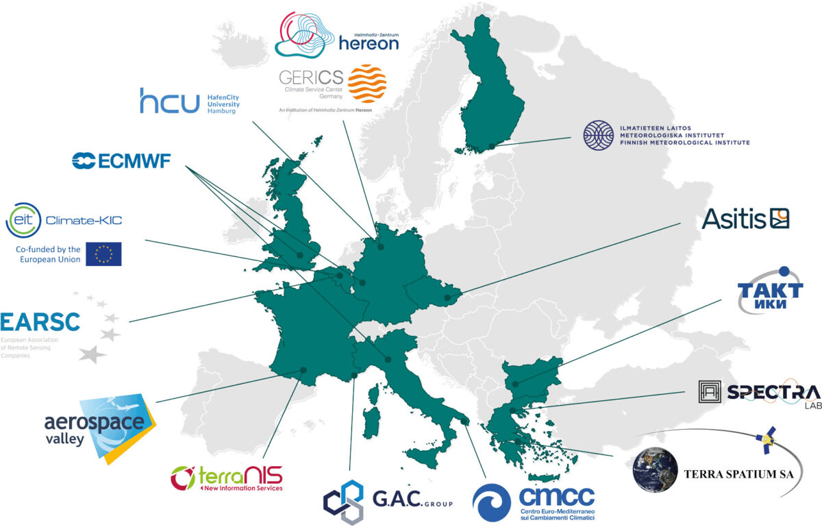
This project is funded by the European Commission under the Horizon program “Research and Innovation actions in support of the implementation of the Adaptation to Climate Change Mission.” The project, led by a consortium of 14 European companies and organizations, was launched in June 2023 and will continue for a duration of 3 years.
💡OBSERVATION: Climate observation or projection data are essential resources for adapting territories to climate change, yet they are underutilized in European regional policies. Consortium, would you like to involve us in a similar project?
🚀VISION: Empower European regions and cities to make decisions that lead to sustainable and climate-resilient development.
🎯 GOALS: Provide data manipulation tools to European regions and communities to guide their strategies for adapting to climate change and evaluating the impact of public policies.

Context

Concept and methods
In practical terms, the project’s objective is to provide European regions and communities with tools to support their strategies for climate change adaptation and resilience. Each consortium member will contribute raw data of various types and scales. All this data will be stored in a common catalog called “GeoNetwork,” facilitating data access and exchange within the project. A standardization tool will then be developed to homogenize this data over time and space for ease of use. Finally, based on the previous elements, indicators will be developed through decision support tools and made available to regions and metropolitan areas.
⚙️ DATA INGESTION TOOLBOX: This toolbox will allow the ingestion of various data identified as useful for the project (climate and non-climate data) and make them interoperable in terms of metadata and format. This toolbox will be created based on open-source and existing tools.
📏DATA STANDARDIZATION TOOLBOX: It will gather several specific tools capable of harmonizing data on the same spatial and temporal references. For example, data will be standardized on reference hexagonal grids or at the scale of administrative units (metropolitan areas, departments, regions, etc.). Additionally, data may undergo scaling adjustments or temporal extrapolation to facilitate manipulation.
🔎 DATA ANALYSIS TOOLBOX: It will consist of various tools capable of combining data of all types, useful for characterizing climate risks and calculating the defined indicators.
🖥️ INDICATOR VISUALIZATION TOOLBOX: The toolbox will be based on a platform called ARLAS, which allows the fluid and interactive visualization of indicators.

RAW DATA
Collection of European data (ECMWF, Copernicus, JRC), national data (INSEE, IGN), or regional data (land use, vegetation).

GEONETWORK CATALOG
Implementation of a generalized GeoNetwork that can store or link to all types of data (tif, shp, NetCDF, csv, etc.).

NORMALIZATION TOOL
Development of a tool for the normalization of all catalog data to standardize them spatially and temporally.

DECISION SUPPORT TOOL
Provision of decision support tools for regions and metropolitan areas through concrete risk indicators.

Demonstrators
The tools and methods developed within the Valorada project will be implemented within five demonstrators (study areas) covering a variety of sectors, climate risks, and community systems across Europe: the municipalities of Gabrovo and Sofia in Bulgaria, the city of Prorov in the Czech Republic, the Central Greece region, the Molise region in Italy, and the Occitanie region in France.
The regions or municipalities selected for the demonstrators are facing significant impacts of climate change and exhibit high vulnerability. The demonstrator in the Occitanie region, coordinated by TerraNIS, focuses on the following themes:
- Assessment of water stress risks for regional agricultural and viticultural sectors during hot summer periods.
- Identification of urban heat islands, assessment of the benefits of vegetation, and evaluation of population vulnerability to heatwaves.
- Assessment of risks related to sea-level rise in the Mediterranean coastal zone and measurement of impacts on agricultural soils.
Identifying priority climate themes and risks in the demonstrators is crucial. For each identified climate risk, concrete and measurable indicators will be developed to assess the current situation, future scenarios based on climate projections, and guide adaptation measures. Ultimately, these demonstrators across Europe are intended to support territories in their adaptation to climate change and reduce their vulnerability.
