Forests
Characterization and monitoring of forested areas and assessment of fire risks
THE CHALLENGES
Preserving forested areas:
an essential resource
Forests play a crucial role in territories: they absorb and store carbon, produce wood resources, constitute a biodiversity reserve, and contribute to mitigating the effects of climate change. However, forests are subject to multiple pressures: fires, decline, drought, or poorly managed management.
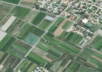
Monitoring forested areas has become crucial to ensure their long-term sustainability and maintain their ecosystem services. Satellite images enable the characterization of vast territories and are therefore powerful tools for forest mapping.
At TerraNIS, we use Earth Observation data, combined with existing databases, to produce cartographic and temporal information useful to various stakeholders. Our expertise enables us to develop solutions around forest environment characterization, fire monitoring, detection of decline, and estimation of wood resources.
OUR SOLUTION #1
Mapping of forest vegetation
and species identification
We propose to create maps of forest vegetation based on satellite image processing. These maps are used for the characterization, monitoring, and analysis of forests within a territory. They provide valuable information on the presence of different tree species and the state of vegetation. This data constitutes important indicators of forest health and biodiversity. It also allows the study of the impacts of climate change or the identification of forest fire risks based on their composition.
OUR SOLUTION #2
Detection and characterization
of burned forest areas
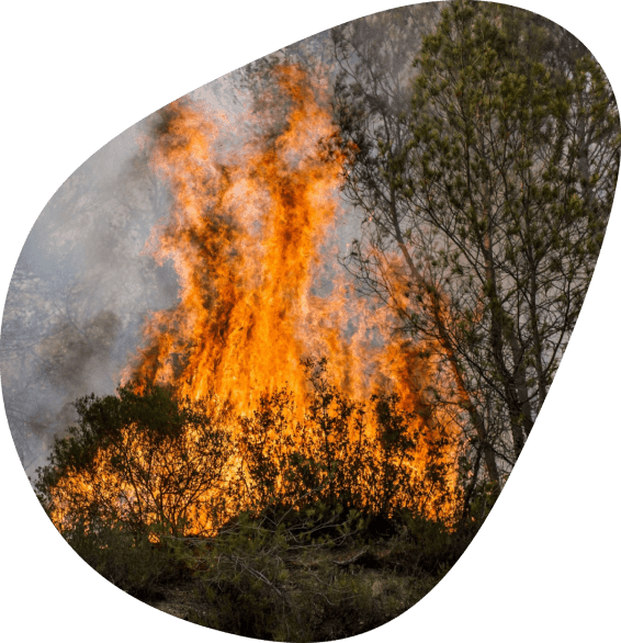
Following a fire, satellite images are valuable tools for mapping areas where vegetation has been destroyed by fire. Detecting burned areas allows for a precise diagnosis of the extent of damage in terms of surface area and type of burned vegetation. By producing near real-time maps, it is also possible to monitor the evolution of fires and determine their direction. This data is crucial for coordinating rescue operations, planning rehabilitation efforts in affected areas, and implementing prevention strategies.
OUR SOLUTION #3
Monitoring vegetation growth
after a forest fire episode
After a fire, vegetation can be severely damaged and take several years to recover and grow. Therefore, monitoring vegetation growth in areas affected by fire is of paramount importance. Satellite image mapping provides essential information on the ecosystem recovery process, as well as subsequent environmental changes. This data allows for the study of species resilience to disturbances and gradually restore affected natural habitats.
FOR WHOM?
Benefits at all levels
for forest protection
LOCAL AUTHORITIES AND GOVERNMENT ENTITIES
Monitor the state of forests and wooded areas in the territory ;
Plan land use and prevent fires ;
Develop conservation and environmental protection policies.
FORESTRY COMPANIES
Detect changes in forest vegetation and assess fire risks;
Take proactive measures to protect the forest;
Optimize operations and ensure sustainable practices.
EMERGENCY SERVICES AND INSURERS
Identify areas at high risk of fire for anticipation;
Plan and coordinate interventions following a fire;
Estimate fire damage and assess compensation amounts.
TAILOR-MADE
Customized services
to meet all your needs
At TerraNIS, we also provide tailor-made services to adapt to all your needs. Discover some examples below:

Detection and characterization of hedges and agro-ecological infrastructures in a territory

Production of maps from field inventory data (resource indicators, carbon stock)
Mapping of the health status of forests and detection of vegetation decline

Creation of biodiversity maps and indicators for forest characterization

Monitoring and decision support tool for forestry operations (harvesting, young plantations, etc.)
NOS CLIENTS
They trust us,
how about you?




OUR PROJECTS
News from TerraNIS
projects & new developments
A lot is happening at TerraNIS! Discover below the current projects and new features of our services.

